

How do you locate underground infrastructure with no evidence from above and an out-of-date map?
You call in the experts.
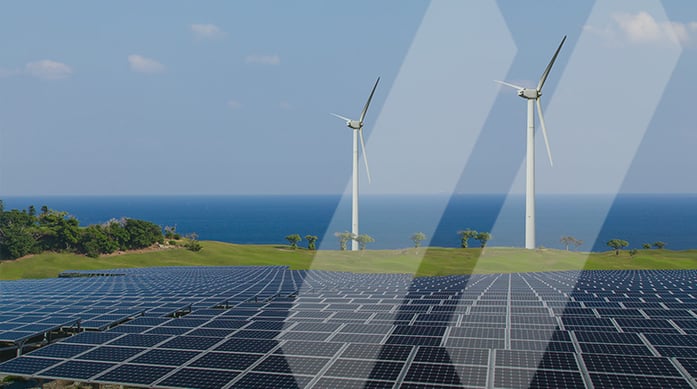
One of the world’s largest utility companies faced this daunting task in DeWitt and Victoria Counties in Texas. They needed to identify the location of over 60 active, permitted, dry, plugged, or abandoned oil and gas wells to make way for a new 500-megawatt solar energy project. To solve this problem, the client called in SAM’s Utility Engineering team.
The Challenge
SAM’s ability to deploy crews to the site quickly, along with the expertise to ensure each well was located and marked correctly, was vital to keeping the entire project on track and in line with its tight schedule.
The overall project scope was unusual. Typically, a client will want all utilities located in an area, but this client needed SAM to identify only the oil and gas wells and associated piping. Since there were no visible signs of the well features and non-conductive (HDPE) pipe materials are harder for geophysical equipment to locate, this project demanded a customized process and solution.
Utilizing Existing Data
SAM tackled the project in stages. First, we compiled the existing well and piping-related data so the utility company could understand the scope of the project. Our team conducted a thorough investigation – pulling in GIS files, previous survey data, and public records, turning them into a single CAD file deliverable that served as a basis for the field investigation.
Conducting the Field Investigation
Establishing the accuracy of those records was the next step and proved a challenge. Even with the information on hand, there was no way to determine if they were correct without a significant and costly field survey. Unfortunately, for renewable energy projects, the sites are typically too large for a field survey of the whole site to be feasible within the project’s time constraints, and that was the case here.
Based on our initial investigation, our team worked with the utility company to identify specific areas where field survey information would be most important. SAM sent our field crews to these areas to locate the wells and associated piping.
SAM field crews conducted utility sweeps based on the best approximations of where the wells could be. With no visible indications of the wells, our teams had to be thorough in recording any utility information during each 50-foot radius sweep around the approximate well locations.
Utilizing Advanced Technology to Ensure Success
In total, the SAM team mapped the location of 28 wells and 19 miles of associated pipelines. Using a wide range of geophysical locating equipment, such as ground penetrating radar and high-precision pipe and cable locators (Rigid SR-24 and RD8100), SAM successfully established the exact location of the old abandoned wells and associated piping.
SAM’s deliverable confirmed, or in some cases, disproved, the existence of the wells and associated piping and provided a more accurate location of these features. Thanks to this data, the solar array was successfully designed and moved forward through development on schedule. What was once an abandoned oil and gas site is now an area that will generate clean solar energy, powering homes with minimal environmental impact, and help the client meet their ambitious Environmental, Social, and Governance (ESG) goal of eliminating carbon emissions by 2045.
Learn more about SAM’s extensive experience in the renewable energy industry and how we help our clients meet their ESG goals.