

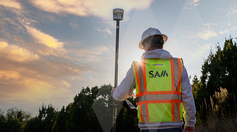
| Adam Long
By now, you’ve likely heard whispers about the new datums that are coming to North America and around the world. It would be easy to dismiss these changes as a lot of tech speak about things that will be handled when the time comes. But, what happens when your geodetic datums or chosen state plane coordinate systems don’t align with the coming changes?
Engineering teams regularly have to pull information from multiple survey sources such as GIS, field surveys and existing plans and records. All too often, each of those sources relies on a different datum opening the door for miscalculations. While using the wrong datum usually results in less than a few meters of error, on a jobsite a few meters can cause some pretty serious disconnects.
This brings us to the potential impacts the 2022 National Spatial Reference System (NSRS) will have on your ongoing and future project budgets and schedules.
The current control datums for the United States, Canada, Mexico, and Central America are the North American Datum of 1983 (NAD 83) and the North American Vertical Datum of 1988 (NAVD 88). The origin of these frames (and others around the world) have significant flaws due to factors such as tectonic plate shifting, old survey data, and limitations in terrestrial measurements.
To improve the NSRS, the National Geodetic Survey (NGS) plans to replace current datums with four new terrestrial reference frames and a geopotential datum that relies primarily on GNSS measurements. These will be easier to access and maintain than the current NSRS datums, which largely rely on deteriorating physical survey markers.
Unless you and your team are prepared, the datum shift will open the door for unanticipated errors in surveys and a host of other issues. Orthometric height changes in the new datums will range from 0.1 meters to -1.3 meters. Now imagine that your project is in the height change range of -0.6 meters—that means your orthometric heights could be off by as much as two feet!
Here are three questions you should ask your survey team in advance of NSRS 2022:
1) Is my project survey geodetically correct?
If the answer is yes, you’re good to go.
Geodetically correct in this instance means that the coordinate system on your project has ties to latitude, longitude, heights, and dates. The NGS will provide the tools to make conversions and transformations to the new datums.
Without those ties, you have a problem. If your latitude and longitude are tied to the coordinate system, but your orthometric heights are not, you will have a disconnect moving forward with potential compatibility issues to current and archived engineering project data. Converting and transforming old data to the new system further down the line for reuse could require considerable time and money.
2) Does your work currently require referencing to the NSRS, NAD 83 and NAVD 88?
If so, make sure you have the necessary metadata to move existing data into the new frames. Your surveyor will need to show when and how the site was surveyed, the source of control and provide a full datum description (e.g., datum, tag, epoch).
3) How do you plan to determine coordinates in the new datum?
NGS has put forth options to address shifts to the new datums, each of which requires time and money:
- Re-survey: Return to the field and collect new observations (most accurate)
- Re-compute: use existing control measurements to determine new coordinates based on the new datums
- Transform: use transformation software to estimate coordinates in the new datums (least accurate)
No doubt, datums and geometric reference frames can be confusing—but they shouldn’t be to your survey and mapping team. Whether measuring the Earth’s shape (geodesy) or measuring land boundaries, it’s up to surveyors to understand and address reference coordinate systems in these changing times.
The upcoming changes to the 2022 NSRS are reminiscent of the challenges surveyors and engineers faced when NGS moved from NAD27 to NAD83. At that time, many project surveys had to be reworked because not enough attention was paid to datums.
Mixing units, or in our case, datums, is not an uncommon error. To use a space analogy from 15 years ago—no one wants to reach the stars but miss Mars!
The modernization of the NSRS will occur when NGS is ready, which is expected to be between 2022 and 2025.
If you have questions about datums, NSRS 2022 specifically, or need help ensuring your projects are ready for the next era in reference stations, contact SAM and we will provide the support you need.
| The Datum Difference | |||
| Datum | Years Used | Network Accuracy (meters) | Notes |
| NAD27 | 1927-1986 | ~10.0 | based on old observations and old system |
| NAD83(86) | 1986-1990 | ~ 1.0 | based on old observations and new system |
| NAD83(199x) | 1990-2007 | ~0.10 | based on new and old observations and same system (HARN) |
| NAD83(2007) | 2007-2011 | ~0.01 | based on new observations and same system; Removed regional distortions and made consistent with CORS |
| NAD83(2011) | 2011-present | ~0.01 | based on new observations and same system. Kept consistent with CORS |
Resources:
National Geodetic Survey - NOAA