SAM Markets
Leading the Geospatial and Inspection industries in depth and accuracy

Work with a team of industry-leading experts.
SAM has an exceptional depth of experienced professionals who are leading experts in our industry.
Are you ready to put the power of the nation’s largest geospatial solutions and inspection services provider behind your next project? Reach out today to get started.
Contact Us

Utilities
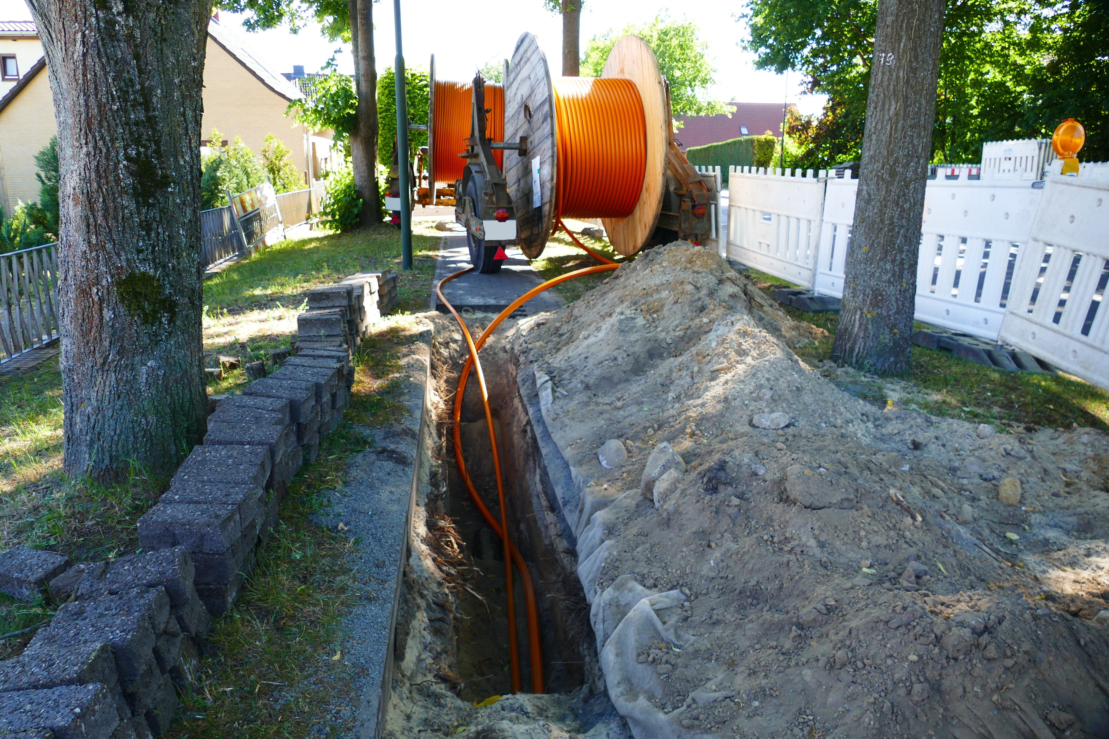
Our team of experts utilizes cutting-edge technology to collect the necessary data for advancing power, pipeline, and telecommunications initiatives in challenging environments such as rugged terrain, underground areas, and coastal regions.

Transportation
From Utility Engineering and Aerial Mapping to Geomatics and Inspection services, SAM brings a comprehensive suite of expertise to every highway, rail, aviation, and port project.

Energy
We can deploy teams quickly, anywhere in the nation—along with the industry’s leading technologies to support us. You’ll find that our team can rapidly get results with unprecedented accuracy.

Government
We deliver high-value solutions to support diverse needs such as Environmental and Regulatory Compliance, Aerial Mapping, GIS Data Collection and Management, Public Utility Data Collection and Inspection, Transportation Infrastructure Management, and many other public project requirements.

Land Development
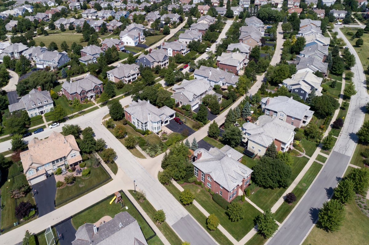
SAM’s Geospatial services provide an exceptionally fast and accurate foundation for land development work. We work with clients to provide the required level of data resolution to support land development services for residential, commercial, and multifamily high-rise properties.

Architecture
Whether you’re looking for an extension of your in-house services or a trusted partner who can quickly provide the information you need to keep a project on track, SAM has a solution. We provide turnkey solutions that bring fresh perspectives to all challenges at every stage of an architectural program.
